Section Description:
In this section learners will explore using GPS to supplement their mapping work by collecting local data and bringing it into the GIS.
Topics covered include:

- Introduction to GPS
- How GPS works
- GPS data accuracy
- First Nations uses of GPS
- Collecting data with a GPS
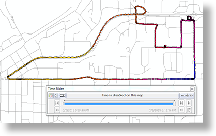
- Using GPS data in a GIS
Assessment:
Student’s ability to use a GPS unit will be assessed through assignments which require they demonstrate their ability to collect prescribed field data using a GPS unit as well as their ability to navigate to specific locations. Students will also be required to demonstrate their ability to transfer data from a GPS unit into the GIS.
