Section Description:
This section will explore the types of data used in a GIS. Learners will develop skills in editing GIS data as well as in creating new data for their mapping projects.
Topics covered include:

- Map Coordinate Systems
- Working with shapefiles
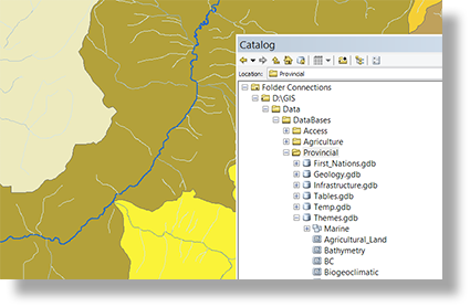
- Working with geodatabases and feature classes
- Creating new GIS data
- Tracing and snapping features
- Editing and updating existing GIS features
- Using editing templates
- Copying and pasting data between data sets
- Selecting and exporting data
- Editing attributes and tabular data
- Connecting external data to GIS features
Assessment:
Students learning success in this course will be assessed through assignments which require they create and edit new GIS data and symbolize the results to a defined standard.
