Section Description:
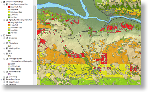
This section of the program will provide the learner with a thorough understanding of using ArcMap to create maps of varying sorts. This module is broken down into several units which focus on the following topics.
Topics covered include:
- Introduction to ArcMap
- Using color to describe features
- Filtering data
- Labeling features
- Introduction to map coordinate systems
- Creating layouts
- Using feature attributes
- Selecting and exporting features
Assessment:
Student’s progress through this section is assessed through the creation of numerous maps which require they demonstrate an understanding of each of the topics covered.
